Reading the winter sky
Commercial tours routinely promise guaranteed aurora sightings. In reality, the Aurora Borealis is governed by unpredictable solar wind physics and stubborn North Atlantic cloud covers. Understanding both replaces frantic bus tours with calm, self-directed observation.
The Myth of the 100% Guarantee
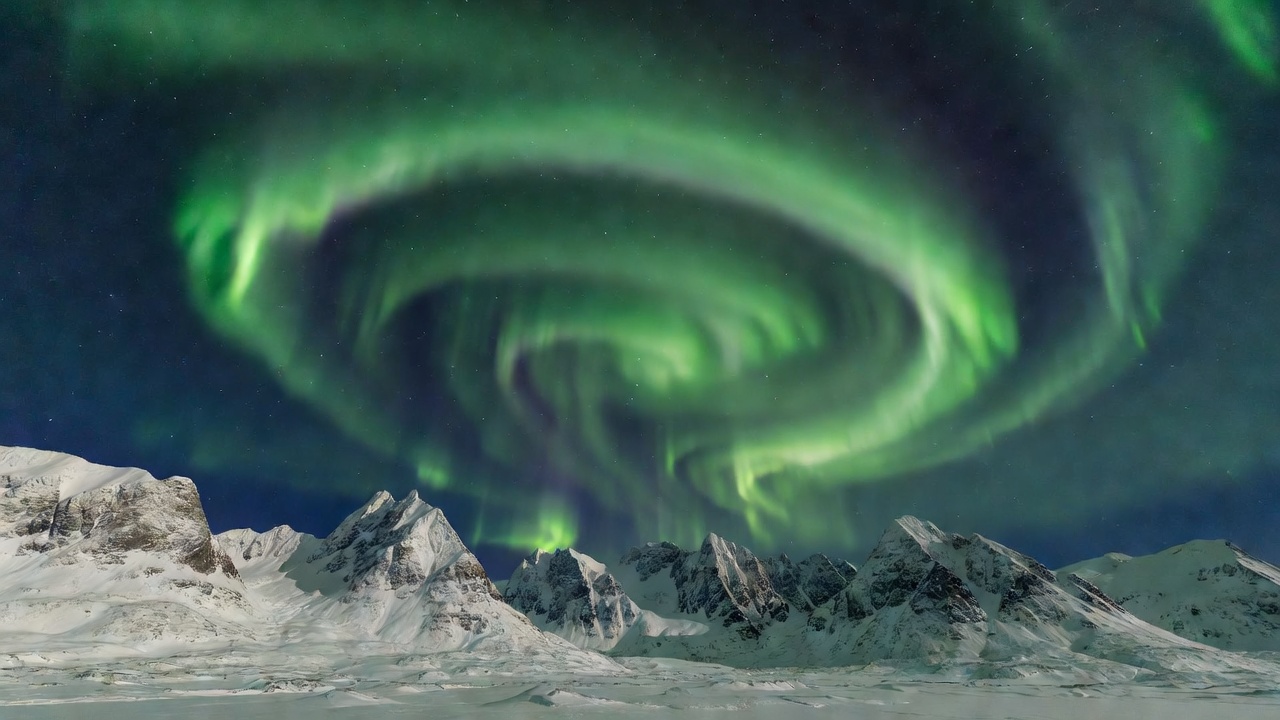
Northern lights occur when charged electrons and protons cast off by coronal mass ejections strike atoms in the Earth's upper thermosphere, releasing photons at altitudes between 80 and 300 kilometres. Because Tromsø, Alta, and the Lofoten Islands sit directly under the Auroral Oval (typically between 65° and 72° north geomagnetic latitude), even faint planetary solar activity generates luminescence above our heads.
The true adversary is never the sun; it is cloud cover. The Gulf Stream pushes moisture-laden marine air against Norway’s coastal summits, frequently trapping fjords beneath low stratus blankets. Knowing how to read local topographical rain shadows is the single most valuable skill an independent observer can acquire.
Microclimates and Rain Shadows
When moist westerly winds strike coastal ranges around Kvaløya or Senja, cloud formations condense rapidly. However, as the air mass descends on the eastern side of these mountain barriers, it compresses and warms—a phenomenon known as the föhn effect.
Locations situated in these inland rain shadows frequently enjoy clear, starry skies while coastal towns less than forty miles away remain encased in wet sleet:
- Skibotndalen: One of Northern Norway’s driest inland valleys, flanked by the protective Lyngen Alps.
- Alta Basin: Shielded by western headlands, Alta enjoys an exceptionally high number of clear nights per winter.
- Finnmarksvidda: The expansive inland plateau stretching through Karasjok and Kautokeino experiences dry, continental sub-zero winter air, free from coastal maritime moisture.
Understanding Solar Data: Kp-Index vs Solar Wind Speed
Many travellers download smartphone apps fixated on the planetary Kp-index (which ranges from 0 to 9). For high-latitude Norway, this focus is misleading. A Kp value of 1 or 2 is entirely sufficient to produce vivid overhead displays across Tromsø and Finnmark because the auroral belt is already positioned overhead.
Far more informative metrics are:
- Interplanetary Magnetic Field (IMF) Bz: When the Bz component turns southward (negative on space weather gauges), solar wind particles couple with the Earth's magnetic lines, initiating auroral substorms.
- Solar Wind Speed: Velocities exceeding 450 km/s indicate active coronal hole streams capable of energizing the sky.
- Solar Wind Density: High proton densities often trigger explosive auroral coronas where light beams converge directly overhead.
Seasonal Timing & Daylight Windows
| Period | Daylight Hours | Weather Characteristics | Suitability Rating |
|---|---|---|---|
| September – October | 8 to 12 hours | Crisp ground, open roads, mild freezing temps, dark nights | High (Exceptional for hiking + aurora) |
| November – mid January | 0 to 4 hours (Polar Night) | Continuous darkness, maritime gales, deep snow begins | Moderate (Maximum dark, frequent storms) |
| Late January – February | 5 to 8 hours | Pastel twilight returns, deep snow pack, coldest temperatures | Very High (Classic winter conditions) |
| March – early April | 10 to 14 hours | Sunny alpine days, high equinox solar activity, frozen trails | High (Equinox auroral enhancements) |
Field Safety in Arctic Darkness
Observing the northern lights independently requires discipline. Do not pull off into unplowed snowdrifts along narrow two-lane coastal roads; soft road shoulders can swallow a vehicle's wheels instantly. Always carry reflective safety vests, headlamps with red light modes to preserve night vision, insulated thermos bottles, and insulated sleeping mats if standing on frozen stone for hours.