Build a workable journey
The most common error in planning a Norwegian trip is underestimating transit times. Two hundred miles on a map looks like three hours of driving in Germany or the American Midwest. In Western or Northern Norway, that same stretch involves two car ferries, single-lane tunnels, and can easily demand seven hours.
The 50 km/h Rule of Thumb
Unless you are driving the multilane E6 south of Lillehammer, calculating an average travel speed above 50 to 60 km/h (30 to 37 mph) is a logistical trap. Mountain roads are subject to tight hairpin bends, heavy agricultural machinery, slow motorhomes, and wandering sheep or reindeer.
Instead of attempting to cover the entire country in ten days, choose one regional hub and explore its immediate orbit. A week spent solely between the Helgeland islands or focusing strictly on the Sunnmøre Alps and Hjørundfjorden results in a deeply satisfying journey; rushing between Oslo, Bergen, the Lofoten Islands, and the North Cape yields little beyond exhaustion and endless windshield glare.
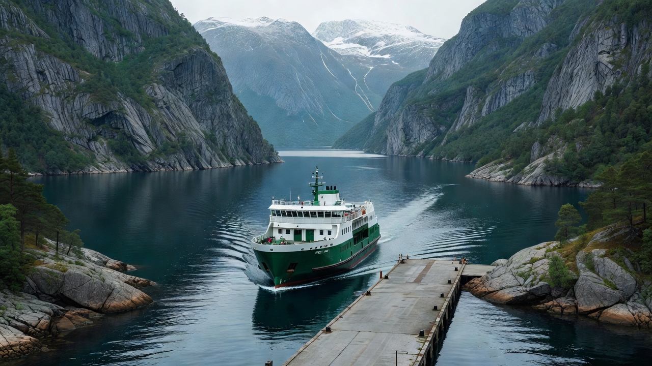
Vehicle Ferries: How They Work
Norwegian vehicle ferries (bilferger) are clean, punctual, and remarkably straightforward. You do not purchase advance paper tickets for domestic fjord crossings.
- AutoPASS / FerryPay: Overhead cameras at the slipway automatically photograph your vehicle’s registration plate upon boarding. Foreign rental cars come pre-fitted with an electronic tag linked to your rental contract. If bringing a foreign-registered private vehicle, simply register your plate online at FerryPay.no before departure.
- Small Islands: Many minor car ferries connecting isolated islands (such as Træna or Røst) are now heavily subsidised or completely free for pedestrians and cars, funded by regional transportation initiatives.
Scenic Alternatives to Heavy Tourist Rail Corridors
While the Flåm Railway (Flåmsbana) is celebrated, it is frequently filled with thousands of cruise passengers transported directly from fjord docks. Travellers looking for breathtaking engineering without the tour-group crush should consider:
- The Rauma Railway (Raumabanen): Running from Dombås to Åndalsnes, this line passes beneath the towering 1,000-meter sheer face of the Trollveggen and crosses the stone Kylling Bridge across churning turquoise rapids.
- The Nordland Railway (Nordlandsbanen): Stretching 729 kilometers from Trondheim to Bodø, this line crosses the Arctic Circle on a desolate alpine plateau and is among Europe’s greatest overnight train journeys.
Realistic Distance & Time Comparisons
| Segment | Distance | Map Estimate | Field Reality (With Ferries & Stops) |
|---|---|---|---|
| Bergen to Geiranger | 370 km | 6 hours | 8 to 9 hours (Requires 1-2 ferries + switchback passes) |
| Bodø to Moskenes (Lofoten) | Ocean Crossing | 3.5 hours | 4.5 to 5 hours (Requires early ferry check-in queue) |
| Tromsø to Gryllefjord (Senja) | 190 km | 3 hours | 3.5 to 4 hours (Single lane coastal bridges and winter ice) |
| Oslo to Åndalsnes | 440 km | 5.5 hours | 6 hours (Smooth transit via E6 & valley train corridor) |
Seasonal Road Closures to Factor In
High mountain routes (Nasjonale Turistveger) typically remain snowbound until late May or early June:
- Sognefjellet (Fv55): Highest pass in Northern Europe; opens early May to early June, closes around November.
- Aurlandsfjellet ("Snow Road"): Bypasses the 24km Lærdal tunnel; normally accessible from early June to mid-October.
- Trollstigen: Subject to rockfall warnings and winter conditions; typically clears late May or June and shuts with early autumn freezes.